Travel Guide of Cardrona in New Zealand by Influencers and Travelers
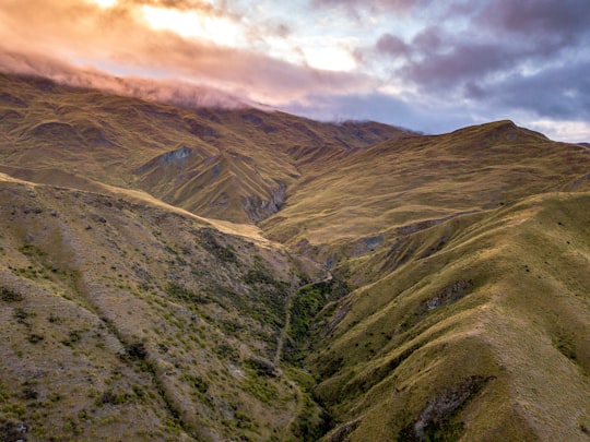
Cardrona is the name of a locality in the Cardrona Valley in New Zealand, with the nearby skifield of Cardrona Alpine Resort and Mount Cardrona also using the same name.
The Best Things to Do and Visit in Cardrona
TRAVELERS TOP 10 :
- Arrowtown
- Crown Range
- Quad biking in Wanaka
- Lake Hayes
- The Remarkables
- Roaring Meg
- Roys Peak
- Shotover River
- Queenstown
- Skyline Queenstown
1 - Arrowtown
10 km away
Arrowtown is a historic gold mining town in the Otago region of the South Island of New Zealand. Arrowtown is located on the banks of the Arrow River approximately 7.5 km from State Highway 6.
Learn more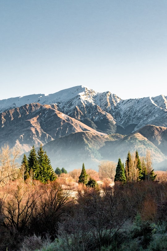

2 - Crown Range
11 km away
The Crown Range lies to the east of the Wakatipu Basin in Otago, New Zealand. It is noted for two features, the Cardrona Alpine Resort, on the slopes of the 1900 metre Mount Cardrona, and a highway, known as the Crown Range Road, which winds steeply between Arrow Junction, just south of Arrowtown, and Wanaka to the north.
Learn more Book this experience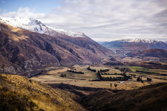

3 - Quad biking in Wanaka
16 km away
Start your engines and race to the top of Mt. Cardrona on adventure quad biking excursions in the Wanaka wild west... The gold rush of 1866 might be just a distant memory for the rural community of the Cardrona, but following its eponymous strea...
Book this experience
4 - Lake Hayes
12 km away
Lake Hayes is a small lake in the Wakatipu Basin in Central Otago, in New Zealand's South Island. It is located close to the towns of Arrowtown and Queenstown.
Learn more Book this experience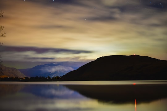
5 - The Remarkables
15 km away
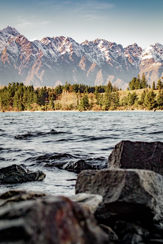
The Remarkables are a mountain range and skifield in Otago in the South Island of New Zealand. Located on the southeastern shore of Lake Wakatipu, the range lives up to its name by rising sharply to create an impressive backdrop for the waters.
Learn more Book this experience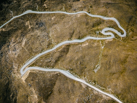
6 - Roaring Meg
16 km away
The Roaring Meg hydro scheme refers to two small hydro electricity power stations fed by the Roaring Meg Dam. The scheme is located next to the Roaring Meg Stream in the Kawarau Gorge, near Cromwell, New Zealand.
View on Google Maps Book this experience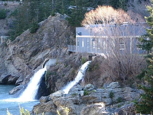
7 - Roys Peak
19 km away
Roy's Peak is a mountain in New Zealand, standing between Wanaka and Glendhu Bay. It offers a full-day's walk with views across Lake Wanaka and up to the peak of Mount Aspiring / Tititea.
Learn more Book this experience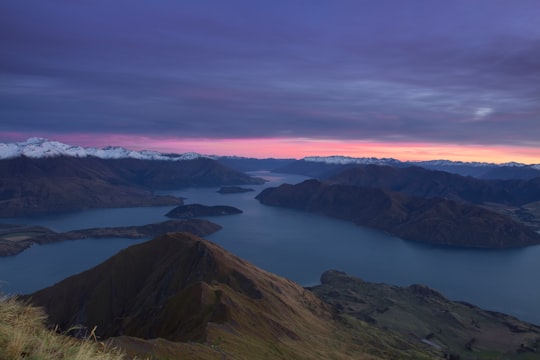

8 - Shotover River
22 km away
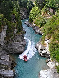
The Shotover River is located in the Otago region of the South Island of New Zealand. The name correctly suggests that this 75-kilometre long river is fast flowing, with numerous rapids.
Learn more Book this experience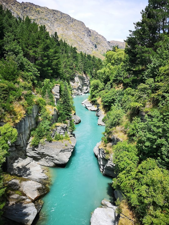
9 - Queenstown
25 km away
Queenstown is a resort town in Otago in the south-west of New Zealand's South Island. It has an urban population of 15,650, making it the 27th-largest urban area in New Zealand.
Learn more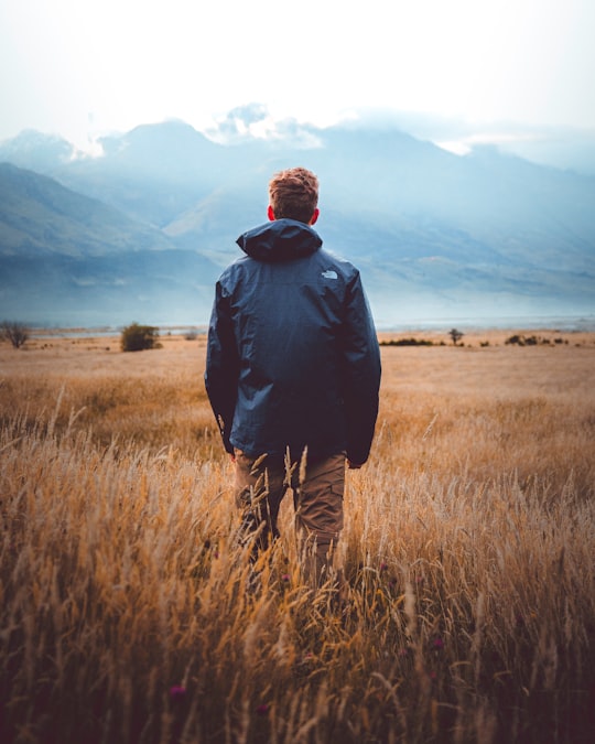
10 - Skyline Queenstown
25 km away
Learn more
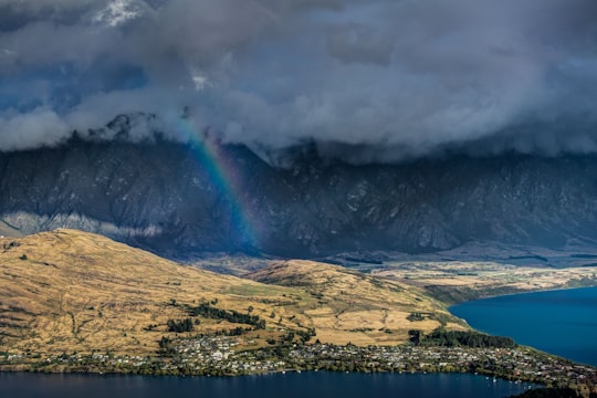
11 - Lake Alta
26 km away
Lake Alta is a glacial lake in The Remarkables near Queenstown in the South Island of New Zealand. It is approximately 500 metres by 250 metres in size and freezes over in the winter months. At this time it is used by skiers and snowboarders.
Learn more Book this experience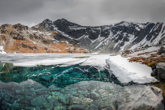
12 - Queenstown Hill
29 km away
Queenstown Hill, also known by its Māori name of Te Tapu-nui, is a small 907 metres mountain near Queenstown, New Zealand in the South Island. The lower levels of the hill contain housing especially near Queenstown, Frankton Road and Marina Heights.
View on Google Maps Book this experience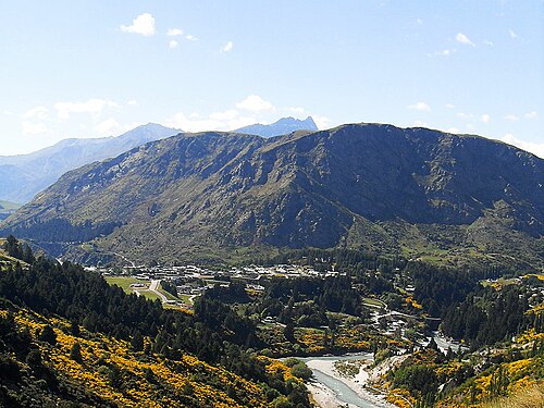
Disover the best Instagram Spots around Cardrona here
Book Tours and Activities in Cardrona
Discover the best tours and activities around Cardrona, New Zealand and book your travel experience today with our booking partners
Pictures and Stories of Cardrona from Influencers
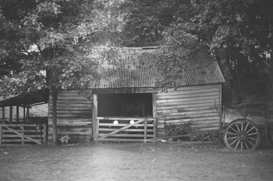
2 pictures of Cardrona from Josh Withers, Kieran Taylor, and other travelers
Plan your trip in Cardrona with AI 🤖 🗺
Roadtrips.ai is a AI powered trip planner that you can use to generate a customized trip itinerary for any destination in New Zealand in just one clickJust write your activities preferences, budget and number of days travelling and our artificial intelligence will do the rest for you
👉 Use the AI Trip Planner
Why should you visit Cardrona ?
Travel to Cardrona if you like:
🏞️ Lake ⛰️ Hill 🌲 Ecoregion ⛰️ Hill station ⛰️ Mountain range 🏞️ LochWhere to Stay in Cardrona
Discover the best hotels around Cardrona, New Zealand and book your stay today with our booking partner booking.com
More Travel spots to explore around Cardrona
Click on the pictures to learn more about the places and to get directions
Discover more travel spots to explore around Cardrona
️🏜️ Badlands spots 🌲 Ecoregion spots Log cabin spotsTravel map of Cardrona
Explore popular touristic places around Cardrona
